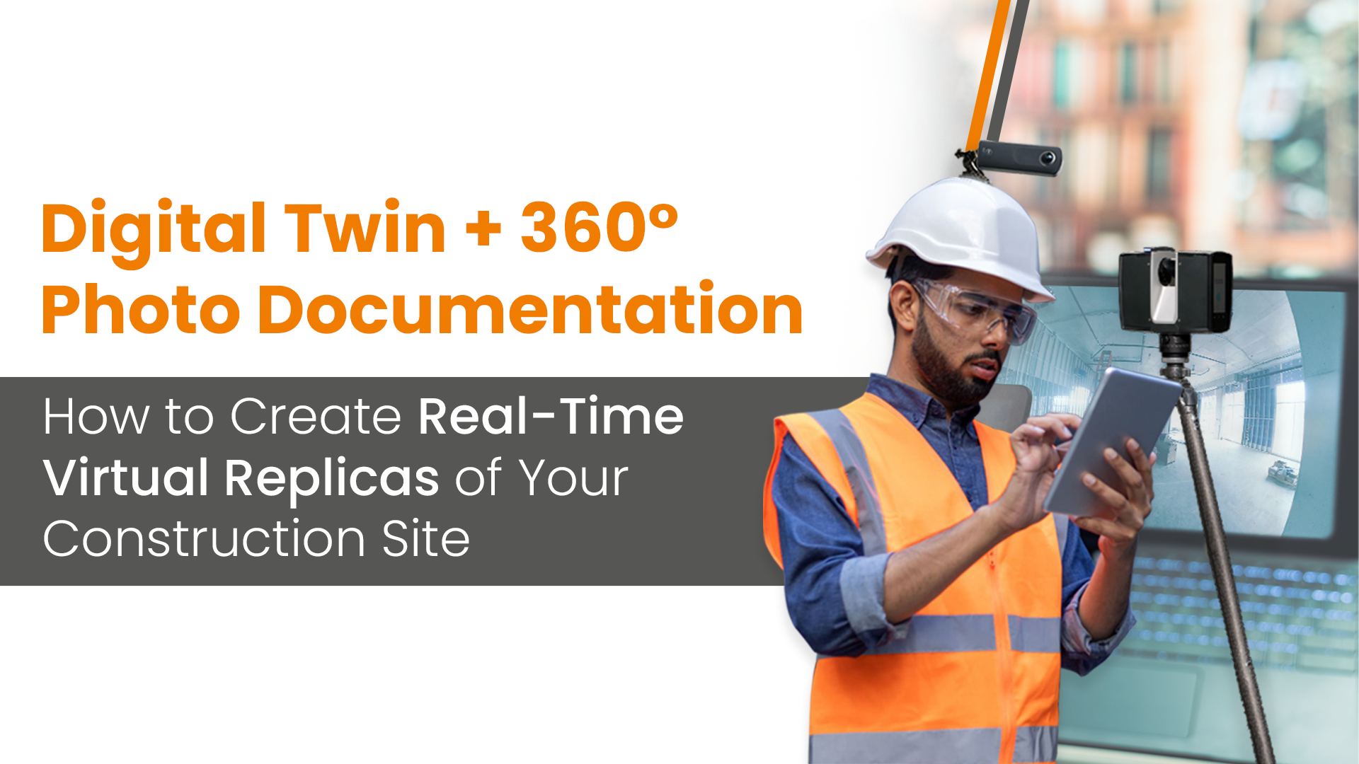
Introduction
By connecting 3600 photo documentation into Digital Twins processes, you can set the stage for a secure, intelligent, and effective building lifecycle. Digital Twin integrated with 3600 photo capture provides a powerful solution for participants to generate and manage replicas in a virtual setting. The combination of reality capture, photogrammetry, and BIM builds an in-depth, interactive, and information-rich environment for faster coordination, risk elimination, and decision-making.
The following article explains the technical implementation and use of 3600 photo documentation, outlining tools, workflows, and advantages for present-day construction management.
What is the definition of a Digital Twin in modern construction?
A Digital Twin is an advanced and dynamic representation of physical assets that is updated in real time through live feeds from the site. It isn’t just a common 3D model, but an integrated ecosystem that connects:
- 3D BIM model models, 3600 photos, and points clouds that comprise geometric data.
- Construction metadata and component properties that compose semantic information.
- Progress updates, IoT sensors, and Issues that constitute live data streams.
This digital space reflects the physical characteristics and drives analytics, simulations, and predictive decision-making.
The impact of 3600 photo documentation.
3600 photo documentation includes the capture of construction images that are panoramic using 3600 cameras. These photos provide site-based visualization, immersive experiences, and a spatial context that works with the 3D BIM model. When time-stamped and geolocated, these deliverables turn into invaluable components of a Digital Twin which enables:
- Timelines of historical construction.
- Visual progress monitoring.
- Site walkthroughs from remote locations.
- Identification and verification of issues.
In comparison to legacy photos, 3600 images include the complete environment in a single capture, which lowers the chances of missing critical points.
What are the technologies and tools required to deploy Digital Twins using 3600 photos?
3600 Cameras:
There are various cameras utilized in taking 3600 photos.
- Insta360 Pro 2
- Ricoh Theta Z1
- GoPro MAX
These cameras are affordable, compact, and capable of producing high-resolution panoramic images integrated by GPS monitoring.
Reality Capture tools:
There are multiple tools that are used to document Reality Capture.
- OpenSpace
- Lens360
- HoloBuilder
- CupixWorks
- StructionSite
These tools are used for the automation of photo alignment, mapping images to floor plans, and connecting BIM viewing tools.
Various BIM coordination tools:
Stakeholders can use multiple BIM coordination platforms to manage and host the Digital Twin model.
- Autodesk Construction Cloud.
- iFieldSmart Technologies.
- Navisworks.
- Revizto.
Cloud Platforms or a Common Data Environment (CDE)
A Common Data Environment or CDE is utilized to store and maintain every digital asset as a single source of truth.
- Autodesk Docs.
- Trimble Connect.
- Lens360.
These platforms ensure complete team access, file version control, and collaboration in real time.
A 7-step workflow to generate Digital Twins in Real time with 3600 images.
Step 1: Set up an initial 3D BIM model.
Begin a coordinated 3D model that is created in Revit or ArchiCAD. Make sure the model is LOD 300 or greater, georeferenced, and aligned with the layout of the site.
Step 2: Map the site grid.
Set up an overlay with a virtual path or grid to achieve consistency within 3600 photo capture. Utilize drone footage or floor plans as a base deliverable to specific points of capture.
Step 3: Capture the 3600 image.
Utilize a 3600 camera, document the site along a set path, and capture photos at continuous intervals – (for example – 3 – 5 meters.). Make sure the GPS is set, and metadata including location, time, and the right direction is recorded.
Step 4: Upload the photos and integrate geolocation.
Upload the images on a reality capture platform that utilizes SLAM or AI algorithms to:
- Align photos to previous images for file versioning.
- Auto-locate images on floor plans.
- Check for ambiguities or missing documentation.
Step 5: Connect the photos with the BIM model.
Connect 3600 photo locations to components in the 3D BIM model. A few platforms deliver overlay views that help users to switch between real-world and model views.
Step 6: Perform data sync in real time.
Schedule 3600 capture sessions for daily, weekly, or achieved milestones. Every session is used to update the Digital Twin based on new visual data that is versioned based on location and time. Integrating IoT sensors that record humidity, temperature, and equipment improves data scenarios in real time.
Step 7: Run analytics and reporting with intuitive interfaces.
- Utilize AI-driven dashboards for comparison of as-built models to as-built conditions.
- Monitor the installation of materials which includes various MEP systems.
- Track safety adherence.
- Create progress reports through automation.
What are the benefits and applications?
- Verify and report progress – compare job site conditions vs BIM schedules to verify completed tasks and highlight delays.
- Collaborate from remote areas – 3600 views help offsite participants to achieve virtual tours, review problems, and generate approvals without being present at the site.
- Deploying QA/QC and Tracking Issues – Overlay 3600 photos with BIM components to identify any misalignment. Issues are connected directly to the photos using notes and responsible people are assigned.
What are the obstacles observed for Digital Twins and 3600 photo documentation?
- Inaccurate photo alignment.
- Higher data volumes.
- Lags between Photo synchronization and BIM.
- Access and security issues.
Heading to a closure.
Silo or disconnected workflows and tools are not the present and future of construction, as they present various challenges for engineers, contractors, and other site personnel. Construction sites need to be connected with data-led analytics, LiDAR-based Reality Capture, and real-time updates in 5G. 3600 photo documentation would evolve into Digital Twins and VR settings that reflect actual reality. They would predict results, suggest enhancements, and promote automated decision-making.